


From 17 to 28 November, the CopernicusLAC Panama Centre hosts its first in-person training courses in Ecuador, designed to increase Earth Observation skills across Latin America and the Caribbean. The courses were held in a classroom provided by the Simón Bolívar Andean University (UASB), in Quito, which gave its institutional support for the development of both activities.
A total of around 60 participants from Ecuador, Peru, Uruguay, the Dominican Republic, Cuba, Panama, Mexico AND Costa Rica attended the courses, creating a diverse and regional learning space which fostered the exchange of experiences and the strengthening of skills in the use of geospatial technologies.
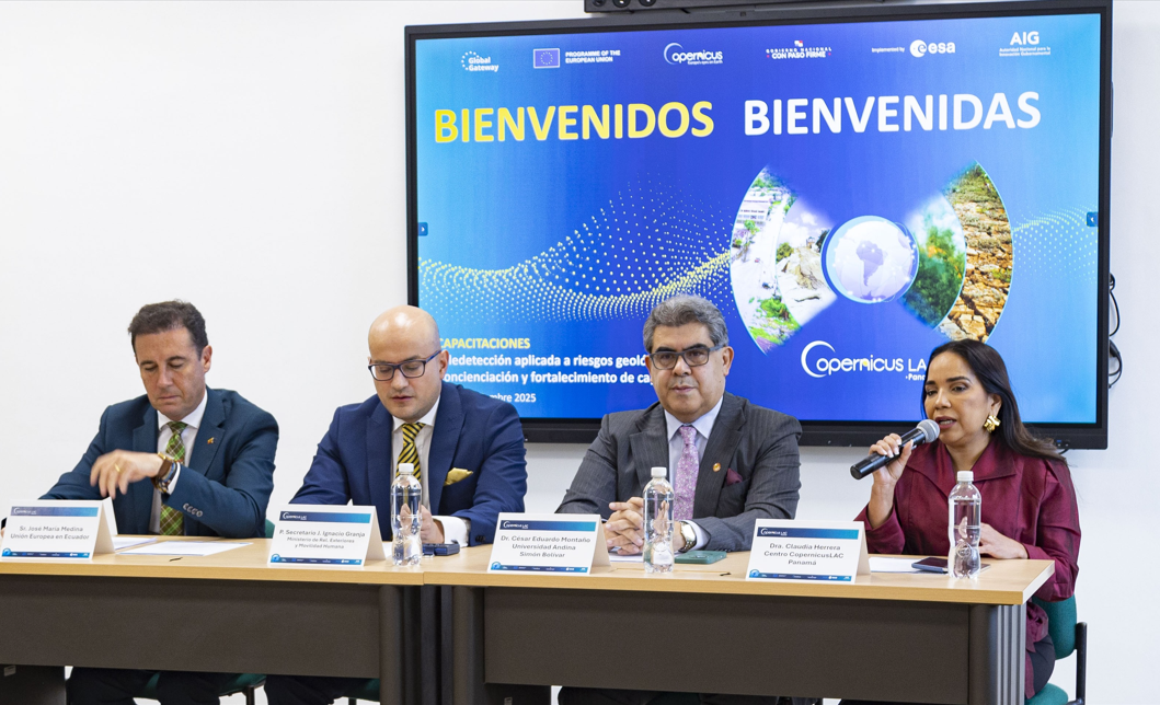 From left to right: Mr. José María Medina (EU Delegation to Ecuador) 1st Secretary Juan Ignacio Granja (Ministry of Foreign Affairs of Ecuador), Dr. César Eduardo Montaño Galarza (UASB) and Dr Claudia Herrera, Stakeholder Liaison Officer of the CopernicusLAC Panama Centre, welcoming the attendees.
An opening ceremony with high-level institutional presence
The official opening of the training sessions was attended by national and international authorities. The Rector of the Simón Bolívar Andean University, Dr César Eduardo Montaño Galarza, officially welcomed the attendees, highlighting the importance of cooperation for scientific development in the country.
Dr Claudia Herrera, Stakeholder Liaison Officer at the CopernicusLAC Panama Centre, highlighted the Centre’s work in the region and the importance as well as the need for ongoing training activities.
Mr José María Medina Navarro, Head of Cooperation at the European Union Delegation to Ecuador, also spoke, emphasising the value of collaboration between the European Union and the region in the EU-LAC Digital Alliance framework.
Finally, First Secretary Juan Ignacio Granja, Director of Sovereignty at the Ministry of Foreign Affairs and Human Mobility and principal representative of the GEO Tierra Ecuador Group, highlighted the importance of using satellite data for strategic decision-making in the country.
Participants learnt how to use remote sensing to face geological hazards
The course ‘Remote sensing applied to geohazards’ (module 9) provided comprehensive training in the use of Earth Observation techniques for monitoring, assessing and mitigating geological hazards such as landslides, earthquakes, and volcanic eruptions.
Throughout the sessions, participants worked with advanced technologies and methodologies aimed at early detection, mapping, and assessment of geological hazards, with the aim of strengthening proactive disaster risk management. The module combined theory, practical exercises and real case studies, enabling attendees to develop applied skills in satellite image interpretation, geospatial analysis, and EO-GIS integration.
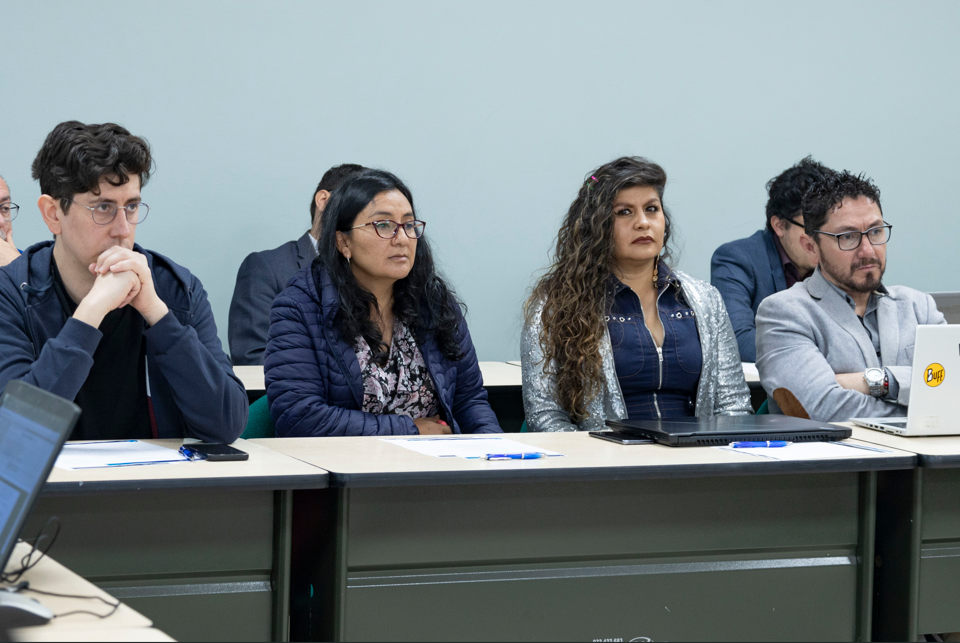 Some of the participants in the course on Remote Sensing Applied to Geohazards
Young professionals, women and indigenous peoples enhance their technical capacity in remote sensing
The second course was designed especially for young professionals, women, students, and representatives of indigenous peoples, and provided an introduction to the field of Earth Observation. It aimed to raise awareness and equip participants with knowledge regarding the potential applications of remote sensing in fields such as environmental monitoring, agriculture, land-use planning, risk management, and the preservation of indigenous cultures. It also highlighted inspiring stories and presented training and professional development opportunities within the Earth Observation sector, aiming to promote wider and more diverse engagement in the field.
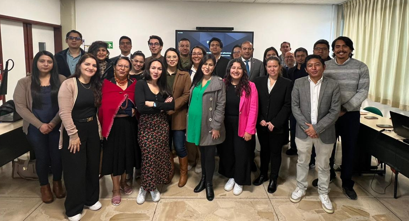
Participants of Module 14
A milestone for the CopernicusLAC Panama Centre in the country and the region
These two training sessions marked the first activity organised by the CopernicusLAC Centre in Ecuador as part of its roadmap to increase capacity building in all Latin American and Caribbean countries.
The success of the initiative reinforces the vision of a stronger regional ecosystem, in which institutions, local communities, and professionals can effectively use the free and open Earth Observation satellite data provided by Copernicus to advance sustainable development and disaster resilience.