


On 20 and 21 April 2026, a capacity-building event focused on the use of Earth Observation services based on Synthetic Aperture Radar Interferometry (InSAR) for the detailed mapping of ground movements was held at the premises of the National Authority for Government Innovation (AIG) in Panama City.
The training was conducted as part of the CopernicusLAC Panama Centre Services Development project, with the aim of strengthening the technical capabilities of national entities to understand, implement and interpret advanced land deformation monitoring services, as well as to explore their potential integration into operational workflows related to risk management and geodynamic analysis.
Participating organisations and roles
The event was attended by the National Authority for Government Innovation (AIG) and the Institute of Geosciences at the University of Panama, as well as representatives from government bodies involved in risk and disaster management, spatial planning and environmental monitoring, including the Water Centre for the Humid Tropics of Latin America and the Caribbean (CATHALAC), the Panamanian Institute of Meteorology and Hydrology (IMHPA), the Centre for Hydro-Environmental Innovation, Research and Technology (CITEC), the Panama Canal Authority (ACP) and the Panamanian Ministry of the Environment (MiAMBIENTE).
Aristotle University of Thessaloniki (AUTh) contributed specialist knowledge in InSAR processing, whilst the participating organisations provided valuable insights into the territory and the local geological context. This approach encourages users themselves to identify processes such as landslides, subsidence, volcanic activity or active tectonic structures based on the deformation patterns observed.
The training took place over two days of face-to-face sessions, combining theoretical and practical sessions focused on the applied use of the services.
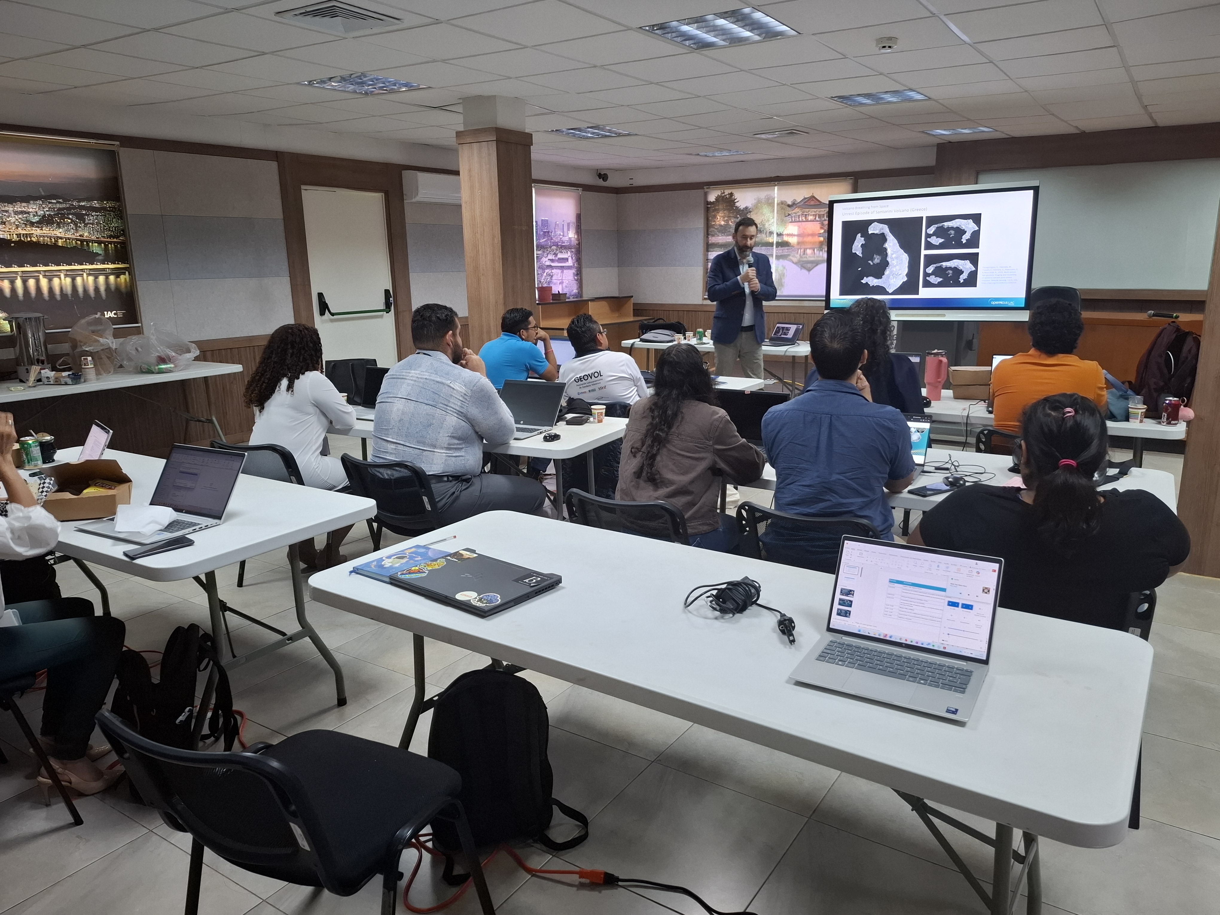 First day at the training course in Panama City, Panama
Day 1: Fundamentals and access to the platform
The first day focused on introducing the Copernicus ecosystem, the Sentinel missions, and the principles of Synthetic Aperture Radar (SAR) and InSAR interferometry, illustrated with examples of land-monitoring applications on a global scale.
Two services dedicated to detailed land-surface movement mapping were also introduced, alongside a guided tour of the CopernicusLAC platform and the GeoHazards Workspace, enabling participants to familiarise themselves with the operating environment, the available case studies and the key elements of the generated products.
Day 2: Running the services and interpreting results
The second day focused on running the online services, covering the general design of InSAR processing workflows and processing parameters, as well as the visualisation and interpretation of results.
Particular emphasis was placed on how to analyse ground deformation measurements, interpret the vertical and horizontal components of movement, and recognise the limitations and sources of uncertainty inherent in InSAR products, with a view to their application in real-world contexts.
Case studies and learning objectives
The practical sessions were designed to enable participants to grasp the general functioning of the services, understand the logic behind the processing chains, and develop basic criteria for the correct interpretation of deformation results.
This approach seeks to enable organisations to critically evaluate the information generated and reflect on how these services and products could be incorporated into their workflows in the future, supporting monitoring tasks, geological hazard analysis and decision-making.
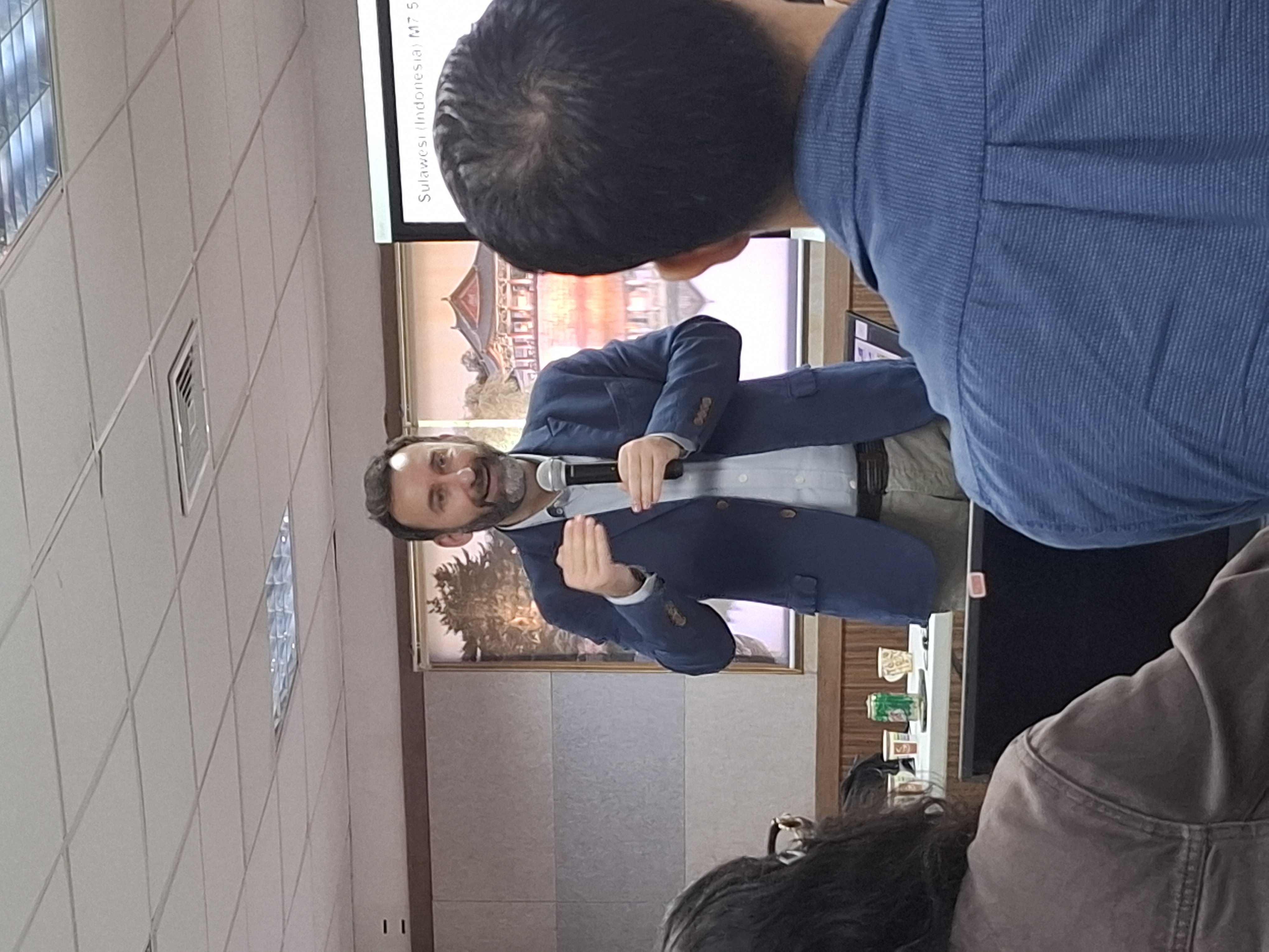
Mr Michael Foumelis, a geologist specialising in image-based geodesy and geological hazards, is currently an Associate Professor at Aristotle University of Thessaloniki
Next steps: demonstration and operational phase
As a natural follow-up to this training activity, the demonstration phase will begin, during which participating organisations will have three months to apply the services to areas of specific interest, gaining a deeper understanding of their operational utility and the requirements for their sustained adoption.
The subsequent operational phase will consolidate the use of these Earth Observation services as tools to support risk management, spatial planning and the monitoring of geodynamic phenomena in Panama and Ecuador.
Background information
The activities of the CopernicusLAC Panama Centre fall within the overall context of the EU-LAC Digital Alliance, which is a strategic framework to promote cooperation between the European Union (EU) and the Latin America and Caribbean (LAC) region on digital and space issues under the umbrella of the EU Global Gateway strategy. In this context, the European Space Agency (ESA) coordinates the implementation of the Centre on the basis of a Contribution Agreement with the Directorate General for International Partnerships (DG INTPA) of the European Commission, and in close collaboration with the Government of Panama, the MIRE (Ministry of Foreign Affairs) and the SENACYT (National Secretariat for Science, Technology and Innovation).