


The course “Remote sensing applied to exposure and risk mapping” officially commenced on Monday, 6 April, at the facilities of the Amazon Protection System’s Management and Operations Centre (CENSIPAM) in Brasilia, establishing itself as a key platform for technical training in risk management through Earth Observation technologies. The training programme, which concludes today, has been delivered over five full days.
Organised in collaboration with CENSIPAM and the National Centre for Disaster Risk Management (CENAD), the training brought together 29 participants, primarily technical specialists from various Brazilian states, seeking to strengthen their capabilities in the use of satellite data for risk assessment and emergency planning.
The opening ceremony, held on Monday, 6 April, was moderated by Dr Claudia Herrera, Stakeholder Liaison Officer at the CopernicusLAC Panama Centre, and featured contributions from distinguished authorities. During the ceremony, Mr Alexander Kuhl, Cooperation Attaché at the Delegation of the European Union to Brazil, highlighted the importance of international cooperation in enhancing disaster resilience.
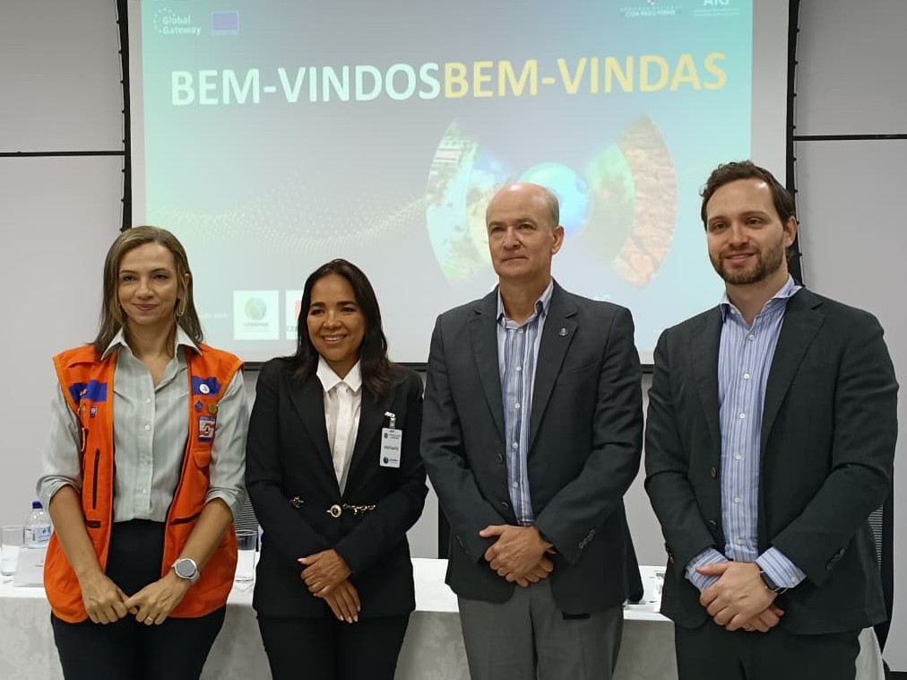 From left to right: Juliana Sobrinho dos Santos Moretti, Claudia Herrera, Marcelo Goñes Sabbá de Alencar and Alexander Kuhl during the course inaugural event.
Juliana Sobrinho dos Santos Moretti, Director of the National Secretariat for Protection and Civil Defence, emphasised the strategic value of integrating advanced technologies into risk management, while Marcelo Goñes Sabbá de Alencar, Operational Director of CENSIPAM, underscored the institution’s role in monitoring and safeguarding Brazilian territory.
The course provides a comprehensive approach to the use of remote sensing for mapping exposure to both natural and anthropogenic hazards. Over the five-day programme, participants progressed from fundamental concepts to advanced analytical techniques, combining theoretical instruction with practical exercises based on real-world scenarios.
Course content includes the use of Copernicus data, the integration of tools such as QGIS and SNAP, and the development of exposure and risk maps for contexts such as forest fires and flooding. Participants also explored methodologies for vulnerability assessment and the design of risk mitigation strategies.
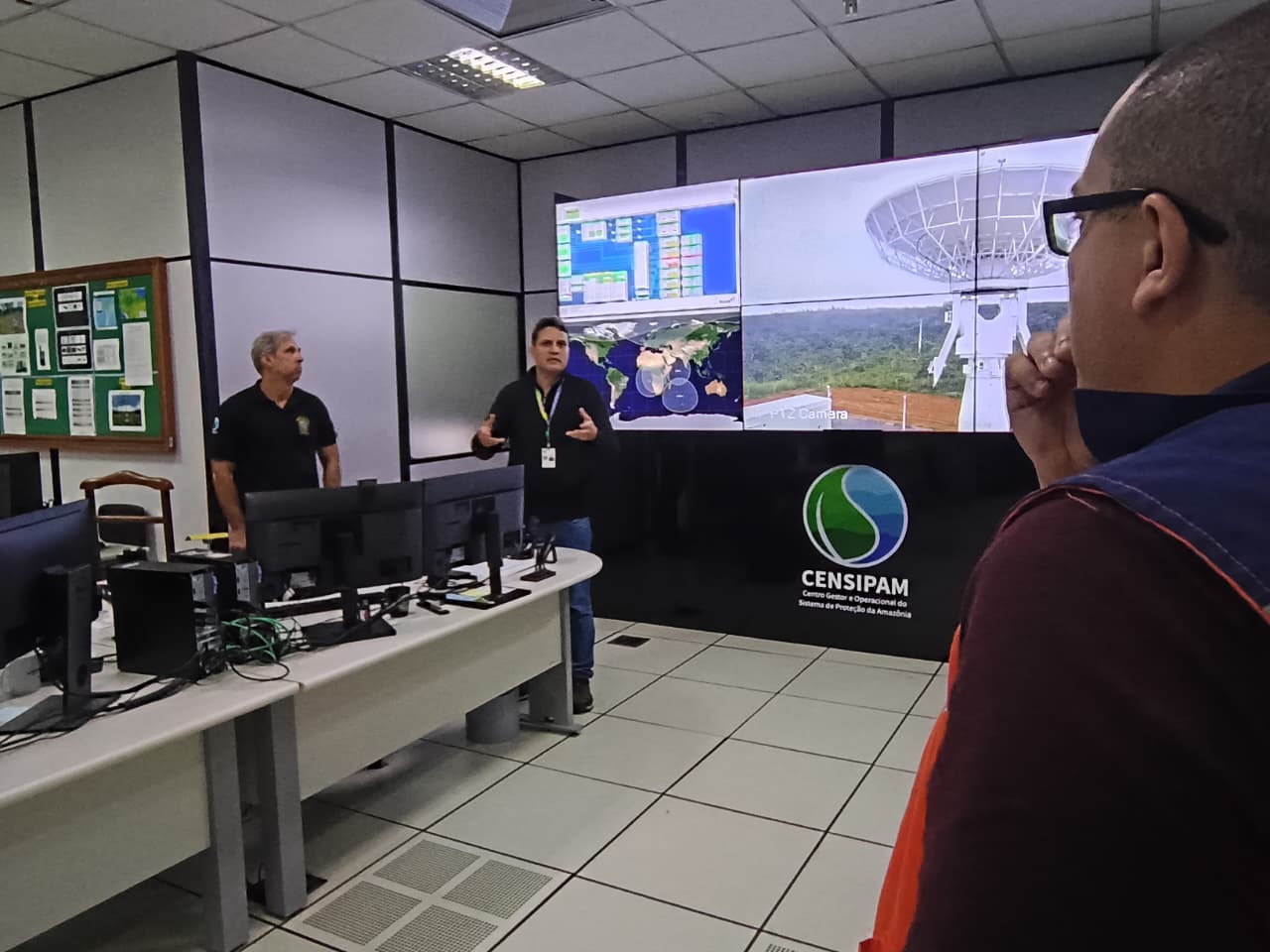 A member of CENSIPAM giving a presentation during the guided tour of their facilities.
In addition, during the course, participants had the opportunity to take guided tours of the CENSIPAM and CENAD facilities, enabling them to see first-hand the day-to-day work of both Brazilian organisations.
Through this initiative, the CopernicusLAC Panama Centre reinforces its commitment to build capacities across Latin America and the Caribbean, promoting the use of satellite technologies for more effective disaster risk management and the protection of vulnerable populations.
Background information
The activities of the CopernicusLAC Panama Centre fall within the overall context of the EU-LAC Digital Alliance, which is a strategic framework to promote cooperation between the European Union (EU) and the Latin America and Caribbean (LAC) region on digital and space issues under the umbrella of the EU Global Gateway strategy. In this context, the European Space Agency (ESA) coordinates the implementation of the Centre on the basis of a Contribution Agreement with the Directorate General for International Partnerships (DG INTPA) of the European Commission, and in close collaboration with the Government of Panama, the MIRE (Ministry of Foreign Affairs) and the SENACYT (National Secretariat for Science, Technology and Innovation).