


The third edition of the CopernicusLAC Hackathon will take place from 21 to 31 May 2026. This virtual event will bring together brilliant minds from Latin America and the Caribbean to co-create innovative solutions using Copernicus Earth Observation data.
Key information:
💡 Free registration
🌍 Multilingual: Spanish, English and Portuguese
📅 Dates: 21 to 31 May 2026
🛰️ Technology: Copernicus Earth Observation data
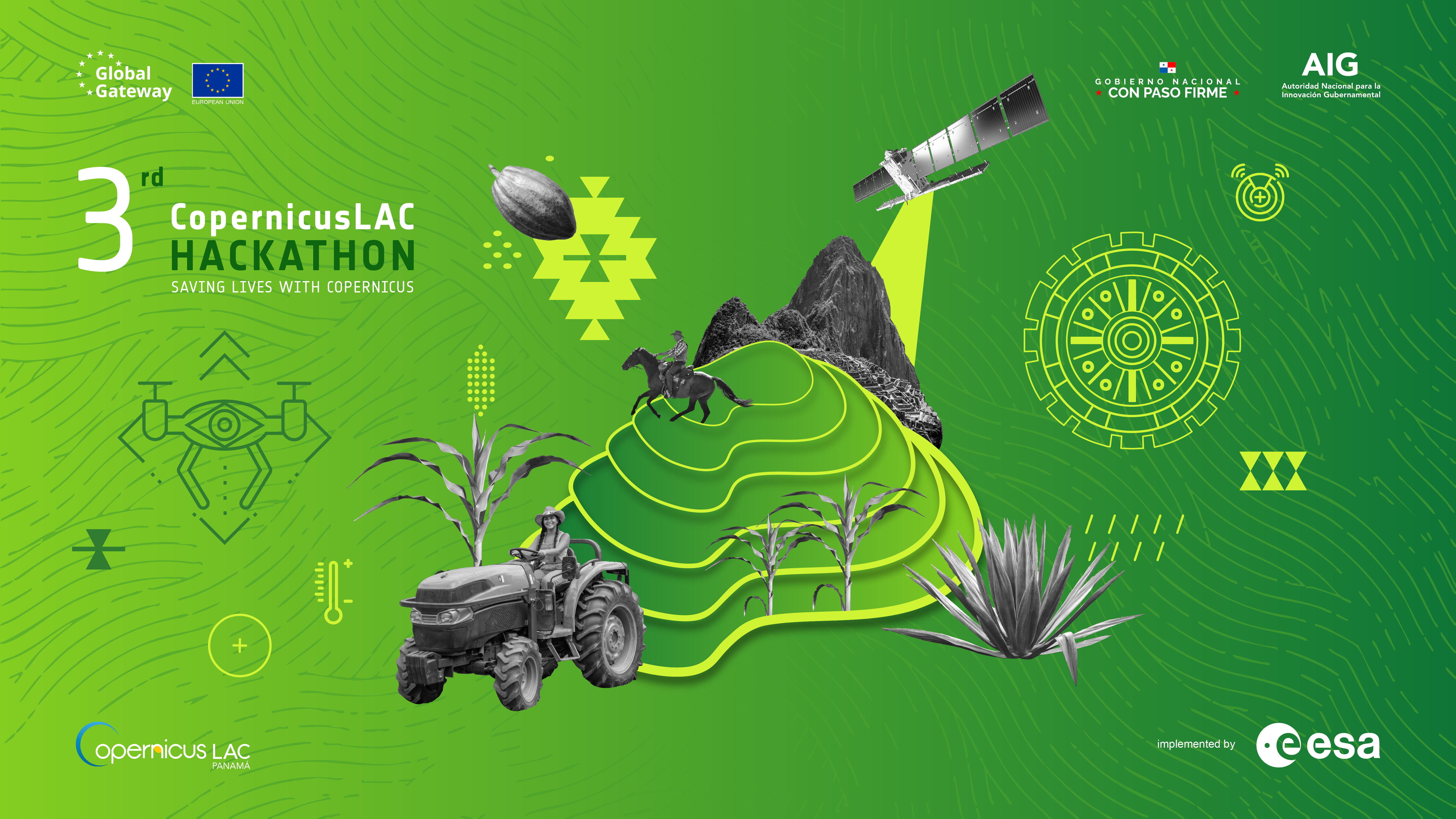
With a focus on agricultural sustainability and food security, participants will address real-world challenges across three thematic categories:
🌾 Supporting the resilience of smaller farmers: Leveraging Copernicus satellite data to provide early warnings and guide climate-smart practices that strengthen the adaptive capacity of smallholder farms.
🌐 Achieving national food security: Transforming Copernicus data into robust systems with early warning indicators and decision-making tools that enable governments to monitor vast territories and strengthen national food security.
📊 Improving yields for large-scale producers: Converting Copernicus satellite data into practical management tools that optimise operations, improve operational efficiency and support sustainable adaptation to changing conditions across thousands of hectares.
Who can take part?
Open to anyone aged 18 or over:
- Students, researchers, professionals and staff from public institutions
- Anyone with an idea that can be addressed using Earth observation techniques and Copernicus data
- The general public (provided team criteria are met)
Are you ready to innovate?
Join a global community of innovators committed to creating sustainable solutions for agriculture in Latin America and the Caribbean.