- The training took place over five days.
- 29 participants from 13 countries have gathered in Saint James, Barbados, to strengthen their technical capacities and work towards greater resilience to disaster risk across the Caribbean.
- The initiative was carried out with the participation and support of the European Union Delegation to Barbados, the Caribbean Disaster Emergency Management Agency (CDEMA), the Caribbean Institute for Meteorology and Hydrology (CIMH), and the EU-Caribbean Cooperation Facility.
Last week, the CopernicusLAC Panama Centre organised a regional training course on remote sensing principles and tools. The course, taking place from 19 to 23 May 2025 and hosted at the facilities of the Caribbean Institute for Meteorology and Hydrology (CIMH) in Saint James, Barbados, has been organised in collaboration with the European Union Delegation to Barbados, the Caribbean Disaster Emergency Management Agency (CDEMA), and the Caribbean-EU Cooperation Facility implemented by Fundación para la Internacionalización de las Administraciones Públicas (FIAP).
This training course, titled Earth Observation: Principles and Tools, took place within the framework of the EU Global Gateway strategy and the EU-LAC Digital Alliance, led by the Directorate General for International Partnerships (DG INTPA) of the European Union in collaboration with the European Space Agency (ESA) and in partnership with the Government of Panama, the MIRE (Ministry of Foreign Affairs), and the National Secretariat of Science and Technology of Panama (SENACYT). In addition, the activity is integrated within the Memorandum of Understanding between the EU and Latin America and the Caribbean (LAC), which aims to increase cooperation between the two regions on disaster risk reduction.
The Caribbean is one of the most disaster-prone regions in the Americas, and strengthening the capacities of risk management and civil protection agencies is key to improving resilience in the face of increasingly extreme events driven by climate change.
Participants from Barbadian institutions and representatives from other Caribbean countries, including Antigua and Barbuda, Bahamas, Belize, Cuba, Dominica, Dominican Republic, Grenada, Guyana, St. Kitts and Nevis, St. Lucia, St. Vincent and the Grenadines and Trinidad and Tobago took part in the five-day course. The training covered the foundations of Earth observation (EO) and demonstrated how accessing and leveraging EO data can be straightforward and beneficial for all, especially in the contexts of emergency management and disaster risk reduction (DRR). In particular, Copernicus EO products were presented using free and open-source satellite image processing tools, which have become increasingly accessible in recent years. These tools facilitate the transformation of raw data into value-added visual outputs, enabling professionals to apply the data to their specific domains to be used for everyday decision-making.
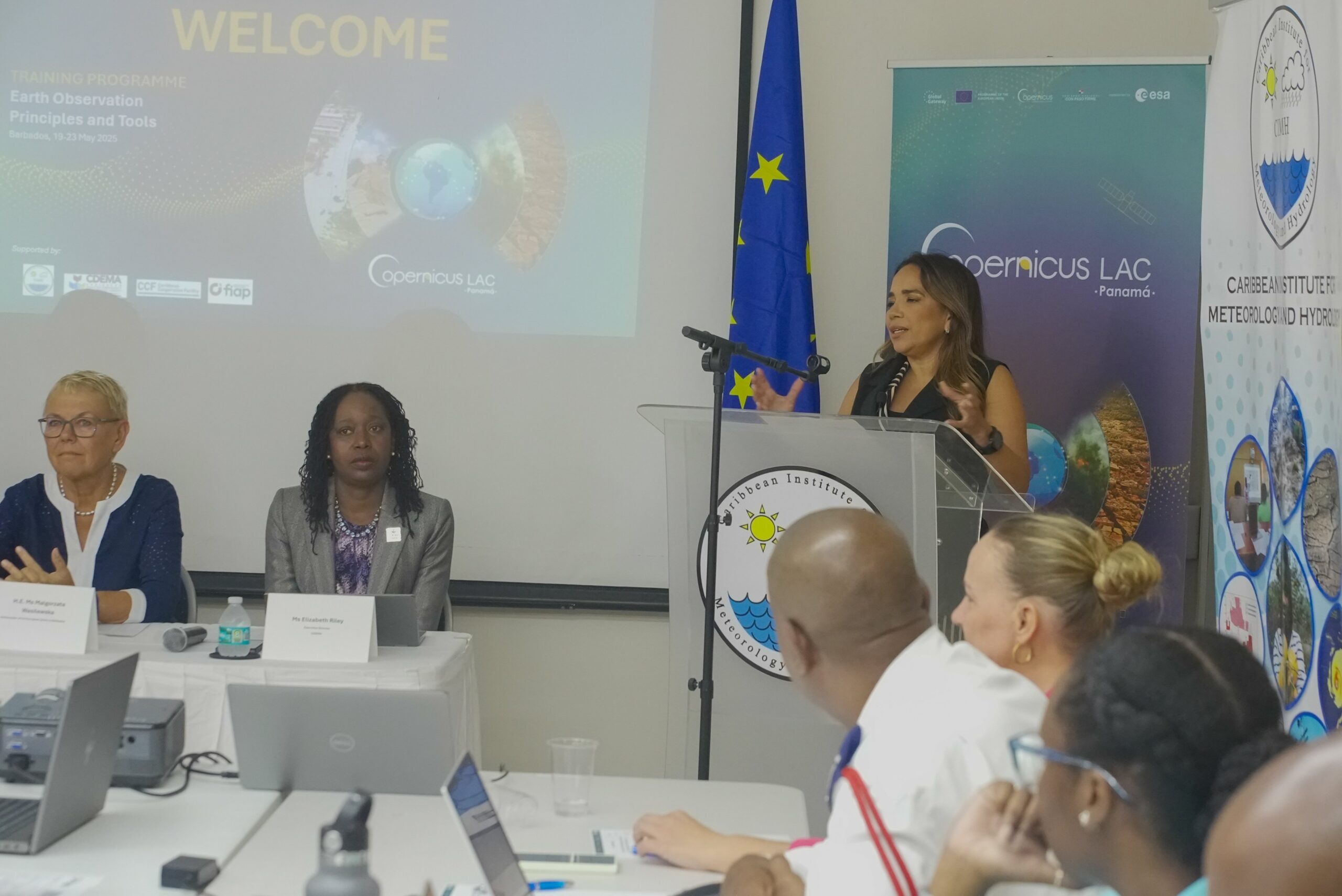
In her welcome address, Ms Claudia Herrera, Stakeholder Engagement Officer at the CopernicusLAC Panama Centre, remarked: “At the CopernicusLAC Centre in Panama, we are firmly committed to supporting Caribbean nations in building stronger resilience to disasters. There is clear evidence that the use of Earth observation data not only increases response efforts in the face of extreme events but also plays a crucial role in strengthening disaster preparedness policies and systems. Training programmes such as the one we are launching today provide essential tools to the dedicated professionals who are at the forefront of building disaster resilience across the Caribbean.”
The course includes a strong practical component, allowing participants to gain hands-on experience in processing and analysing satellite data. Practical sessions will cover data access and downloading, satellite image preparation and interpretation, and the application of techniques for impact assessments.
Ms Kathy-Anne Caesar, Chief Meteorologist, on behalf of Dr. David Farrell, Principal of CIMH, emphasized the importance of integrating Earth observation tools into regional disaster planning, encouraging to learn and share beyond this workshop so that we can grow together in the challenge of disaster risk reduction.
Ms. Elizabeth Riley, Executive Director at CDEMA, added: Ms. Elizabeth Riley, Executive Director at CDEMA, understored the benefit of Earth Observation Data saying: “The value of Earth Observation data is not theoretical—it has already proven impactful in operational settings. In 2024 alone, Copernicus services were leveraged by the Regional Response Mechanism coordinated by CDEMA to support decision-making and response during Hurricane Beryl and the unprecedented wildfires in Belize. These examples demonstrate the power of geospatial intelligence in enhancing situational awareness and coordination during crises.” The course was led by Dr Caterina Peris Ferrús and Dr Akram Elghouat, Technical Specialists of the CopernicusLAC EO services development project, who delivered specialised training to the participants. Copernicus provides information services based on satellite and in situ data, sourced from ground, aerial, and maritime measurement systems. These services enable public authorities, service providers, and international organisations to make informed decisions. Copernicus services and products are free and open to all users.
In her speech at the inaugural event of the training, H.E. Ms Malgorzata Wasilewska, Ambassador of the European Union to Barbados, highlighted: “This training takes place during the European Union’s Europe Month. In the Caribbean, it’s a chance to celebrate the strong and evolving partnership between the EU and the region, particularly in areas like strengthening resilience, where cooperation continues to deepen. By providing public institutions with access to reliable data and the skills to use it effectively, this initiative is contributing to a stronger, more prepared Caribbean—better equipped to anticipate risk and protect communities”
About the CopernicusLAC Panama Centre
The activities of the Centre fall within the overall context of the EU-LAC Digital Alliance, which is a strategic framework to promote cooperation between the European Union (EU) and the Latin America and Caribbean (LAC) region on digital and space issues under the umbrella of the EU Global Gateway strategy. In this context, the European Space Agency (ESA) coordinates the implementation of the Centre on the basis of a Contribution Agreement with the Directorate General for International Partnerships (DG INTPA) of the European Commission, and in close collaboration with the Government of Panama, the MIRE (Ministry of Foreign Affairs) and the SENACYT (National Secretariat for Science, Technology and Innovation).
The CopernicusLAC Panama Centre will serve as a platform for innovation in the Latin America and Caribbean region, supporting national and local entities in leveraging Copernicus data and information to enhance socio-economic benefits and resilience. The Centre provides opportunities for engagement and is developing tailor-made geospatial Pilot Services (addressing hydrometeorological hazards, geological hazards and risk exposure services), which are developed in close collaboration with local users and stakeholders, to whom they will be delivered to ensure that the unique needs of the region are addressed in the long term.
In addition, knowledge and skills transfer is a key element of the CopernicusLAC Panama Centre, which hosts a Digital Campus with access to training modules and educational resources for technical users and citizens alike. The Centre will also organise community-building events, policy dialogues and industry matchmaking, as well as hackathons and other Earth observation (EO) data challenges to stimulate user adoption of Copernicus data and innovation. These events will also foster cross-collaboration of EO, Disaster Risk Reduction (DRR) and other relevant ecosystems.
Finally, the Centre will include the development of high-powered infrastructure and cloud computing for the LAC region. One of the ultimate objectives of the Centre is also to promote the development of communities of practice and strengthen capacities in the public sector, academia, the private sector and within social organisations in the knowledge and use of tools for DRR and other areas.