


Entities in the Caribbean – a region frequently tested by hurricanes, floods, and other disasters and extreme weather events – continue to explore innovative strategies to strengthen the region’s disaster preparedness and resilience. From 2 to 6 December 2024, this mission took centre stage at the 13th Caribbean Conference on Comprehensive Disaster Management (CDM13), organised by the Caribbean Disaster Emergency Management Agency (CDEMA).
Under the theme ‘Road to Resilience: Checkpoint 2024 – Levelling Up for a Dynamic Future’, the event brought together regional and international experts, policymakers, and practitioners. The discussions focused on transformative approaches to building safer and more adaptive communities in the face of increasingly complex challenges.
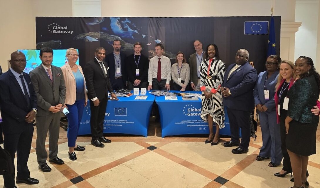
The conference provided an opportunity to explore the integration of satellite data and innovative technologies into disaster risk management. As part of this effort, the CopernicusLAC initiative, implemented by the European Space Agency (ESA) as a Global Gateway flagship programme funded by the Directorate General of International Partnerships (DG INTPA) of the European Commission, demonstrated its role in equipping the Caribbean with advanced tools, services, and strategies to build resilience against hazards through Copernicus Earth observation (EO) data. Hosted by the government of Panama, the CopernicusLAC Centre’s activities address the entire Latin American and Caribbean (LAC) region.
Unlocking the Potential of Satellite Technology
The conference’s dedicated session, ‘Using Satellite Data to Better Manage Risks’, was attended by one hundred people and explored the role of advanced geospatial technologies in disaster management. Co-organised by Roberto Rudari (CIMA Research Foundation), Philippe Bally (ESA), Paolo Campanella (WASDI), and Shawn Boyce (Caribbean Institute for Meteorology and Hydrology – CIMH), the session demonstrated how EO data can be leveraged to address hazards and risks in the Caribbean.
The session had several key objectives:
- Engage stakeholders from Latin America and the Caribbean: Participants were introduced to the CopernicusLAC initiative and its potential to support the region with open source geoinformation solutions via the Copernicus Sentinel satellite missions.
- Present the Hydromet Pilot Services: The session highlighted hydrometeorological applications, essential for prevention and preparedness in the face of hazards and risks associated with storms and precipitation.
- Explore computational advancements supporting EO: Examples of the contribution of WASDI were presented, including its capability to streamline the use of satellite data to support risk management. This computational environment is used by CopernicusLAC as the starting point in implementing an open-source processing environment which will be transferred to the CopernicusLAC Centre in Panama.
- Highlight global resources: Attendees were shown key international tools such as the Copernicus Emergency Management Service (CEMS) and its On-Demand Mapping component, as well as the International Charter for Major Disasters, which are available to mandated users in the immediate disaster response phase. These tools are promoted by the CopernicusLAC Panama Centre.
Participants discussed practical applications of satellite-based tools, highlighting their effectiveness in:
- Emergency response: Providing timely, actionable data during crises including damage assessment to quickly identify affected areas to prioritise resources.
- Disaster risk reduction: Anticipating potential hazards and improving preparedness.
Guided by Local Needs
An essential element of the event was the dedicated technical meeting organised by DG INTPA (through the EU Delegation based in Barbados) in collaboration with the EU Directorate-General for European Civil Protection and Humanitarian Aid Operations (DG ECHO). The meeting focused on the hydrometeorological pilot services which will be co-developed and demonstrated with users from the Caribbean region, with an emphasis on meeting the specific priorities and needs of Caribbean stakeholders and users. By gathering input from practitioners and geospatial data users, the session underscored the importance of co-developing solutions tailored to the region’s unique challenges.
Towards a Resilient Future
The CopernicusLAC initiative exemplifies how international collaboration, and technological innovation can drive progress in disaster risk management. By merging local expertise with global resources, the initiative paves the way for more efficient and sustainable practices which increase resilience across the Caribbean.
As the region continues to confront environmental and climatic threats, events like CDM13 provide an essential stage for sharing knowledge and fostering partnerships that strengthen disaster preparedness and response.