



With the purpose of strengthening technical knowledge and resilience in the face of environmental challenges in the region, the CopernicusLAC Panama Centre initiated the training in Remote sensing applied to land use and land cover, and the impact of climate change on agriculture and food security.
The event, which is taking place from 28 September to 2 October at the University of Costa Rica, brings together more than 30 participants from Costa Rica, Panama, Chile, Argentina, El Salvador, Cuba, Mexico, Guatemala and Ecuador.
During the opening ceremony, Claudia Herrera, the Centre’s Stakeholder Liaison Officer, emphasised that “the region is facing more intense and less predictable weather events, such as droughts and floods, exacerbated by the El Niño phenomenon, which is why the CopernicusLAC Panama Centre makes a significant contribution by helping to address these challenges through its capacity-building activities for disaster risk management.”
Pascal Girot Pignot, Director of the School of Geography at the UCR, then took the floor to highlight that “the El Niño phenomenon has intensified both droughts and floods, making it difficult to forecast extreme events and respond to disasters. Today, more than ever, it is essential to foster academic cooperation and the training of trainers who can pass on this knowledge.”
Finally, the welcome ceremony concluded with remarks from the European Union’s Ambassador to Costa Rica, Pierre-Louis Lempereur, who emphasised the importance of collaboration between local governments and international partners, and the role of satellite technology as a catalyst for sustainable development in Latin America and the Caribbean.
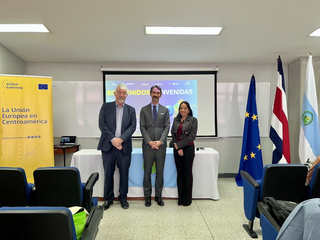
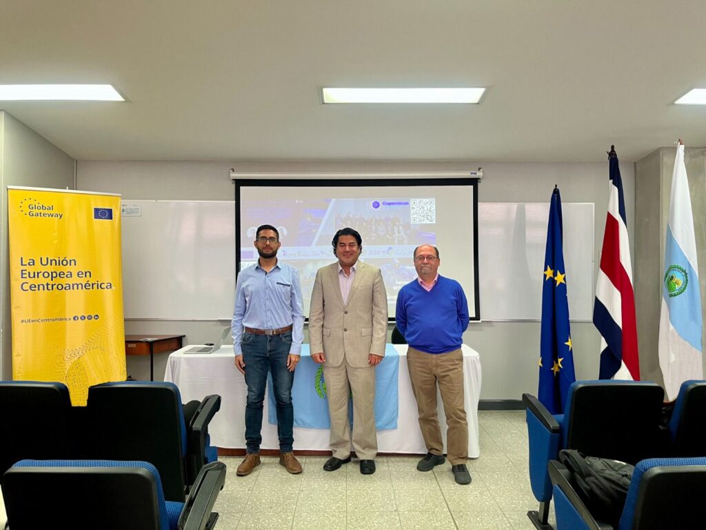
The welcome event continued with three presentations that provided context for the course: Ricardo Montero, from the Grandes Bosques de Mesoamérica Programme, highlighted how this data is used to support forest monitoring, traceability and sustainable trade. Next, Dr Carmelo Alonso gave an introduction to the Copernicus programme, its services, components and the Copernicus Emergency Management Service (CEMS).
Finally, we were joined by Esteban Montenegro, from PRIAS/CeNAT, who presented the Copernicus Academy Costa Rica and emphasised the importance of capacity building for the use and application of Earth Observation data to improve decision-making.
Satellite tools for food security and land use
Over the course of a five-day technical immersion, participants will be using virtual training environments with open-source software (such as SNAP and QGIS) and free, open data from the Copernicus programme’s Sentinel satellites.
The first part of the training focuses on land use and land cover, enabling participants to analyse and classify scenarios for informed decision-making. The second phase delves into the impacts of climate change on water resources, crop yields and overall food production, equipping the region with essential tools to assess climate risk and design adaptation strategies in the agricultural sector.
About CopernicusLAC Panama and its knowledge transfer activities
The Centre’s activities form part of the broader context of the EU-LAC Digital Alliance, a strategic framework for promoting cooperation between the European Union (EU) and the Latin America and Caribbean (LAC) region on digital and space-related issues under the Global Gateway strategy. In this context, the European Space Agency (ESA) coordinates the Centre’s operations on the basis of a Contribution Agreement with the European Commission’s Directorate-General for International Partnerships (DG INTPA), and in close collaboration with the Government of Panama, the National Authority for Government Innovation (AIG), the Ministry of Foreign Affairs (MIRE) and the National Secretariat for Science, Technology and Innovation (SENACYT).
The CopernicusLAC Panama Centre serves as a platform for innovation in the Latin American and Caribbean region, supporting regional, national and local organisations in utilising Copernicus open data to enhance socio-economic benefits and resilience. The Centre is developing bespoke Earth observation services that address hydrometeorological or geological risks, as well as risk exposure services, amongst others. These developments are being carried out in close collaboration with users and stakeholders from the participating countries to ensure that real needs are addressed.
Furthermore, the transfer of knowledge and skills is an essential element of the Centre, which hosts a Digital Campus offering access to training modules and educational resources for technical users and members of the public interested in Earth observation. The Centre also organises events to foster communities, policy dialogues and matchmaking with the private sector, as well as hackathons and other challenges related to Earth observation (EO) data to encourage the adoption of Copernicus data by users in the region. Furthermore, these events will foster cross-sector collaboration between the EO, disaster risk reduction (DRR) and other related ecosystems.
Finally, the Centre will include the development of high-performance computing and cloud computing infrastructure for the LAC region.