




Use Case 10 focuses on the large‑scale production of terrain‑motion information using the kinesIS interferometric stacking service together with 3D geometric decomposition. These workflows process extensive archives of Sentinel‑1 acquisitions to produce line‑of‑sight (LoS) ground‑motion velocities in mm/year, which are then transformed into vertical and horizontal components. Across all participating countries, the use case will process approximately 150 000 km² in total, enabling consistent deformation mapping over a broad combined area.
The services provide the spatial detail needed to analyse ground‑motion processes that are relevant across Central America, Ecuador and Chile, including regional subsidence, volcanic‑related deformation, fault‑controlled displacement, and slope instabilities affecting urban and non-urban settings. By delivering uniform deformation‑rate fields across large extents, the service supports institutions that need continuous regional coverage in areas where in‑situ monitoring networks are sparse or unavailable.
In addition to generating displacement‑rate maps, the use case emphasises capacity building for interpreting the deformation signal. While kinesIS and 3D decomposition deliver the kinematic information (LoS, vertical, and horizontal velocities), expert users are responsible for assessing the geological meaning of the observed motion, determining whether it reflects tectonic activity, volcanic processes or unstable slopes.
The outputs of UC10 support geohazard assessment, infrastructure‑risk evaluation, and territorial planning at the regional scale, enabling institutions to rely on consistent deformation information across large areas of interest.
Area of application: Panama, Ecuador, and additional regions in Central America and Chile
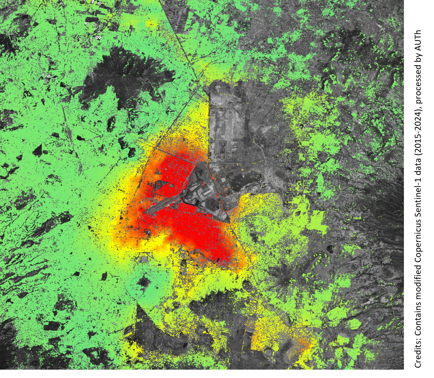
Pixel-based KinesIS measurements over Mexico City, revealing high gradients of ground deformation.